|
Width: 400 Height: 400 Extent:
YMin: -33.9409647452091 XMax: 35.9907744229707 YMax: -24.2327638414215 Spatial Reference: 4148 Scale: 10200000 |
| ArcGIS Services Directory |
| Home > itbprint (MapServer) | Help | API Reference |
|
|
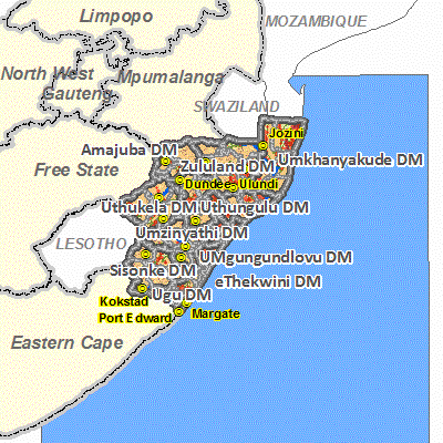
Width: 400 Height: 400 Extent:
YMin: -33.9409647452091 XMax: 35.9907744229707 YMax: -24.2327638414215 Spatial Reference: 4148 Scale: 10200000 |