|
Width: 400 Height: 400 Extent:
YMin: -34.5052056045456 XMax: 20.6569064430457 YMax: -32.7609532454543 Spatial Reference: 4326 Scale: 1832612.88461698 |
| ArcGIS Services Directory |
| Home > UpperBreede (MapServer) | Help | API Reference |
|
|
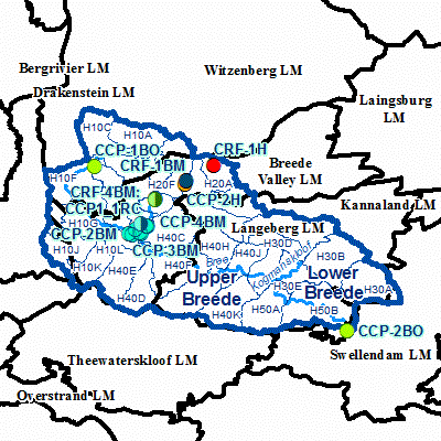
Width: 400 Height: 400 Extent:
YMin: -34.5052056045456 XMax: 20.6569064430457 YMax: -32.7609532454543 Spatial Reference: 4326 Scale: 1832612.88461698 |