|
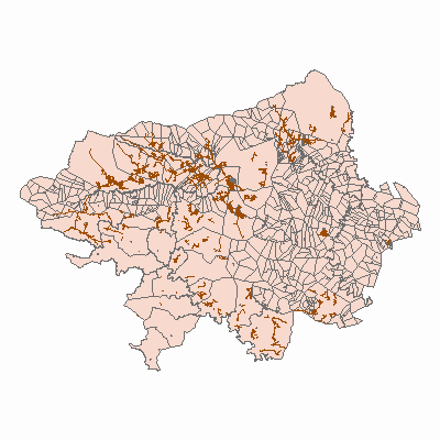
Width: 400 Height: 400 Extent:
YMin: -3417516.309215 XMax: 34562.1912650003 YMax: -3302015.293585 Spatial Reference: PROJCS["Lo 29 Hartebeeshoek 94",GEOGCS["GCS_Hartebeesthoek_1994",DATUM["D_Hartebeesthoek_1994",SPHEROID["WGS_1984",6378137.0,298.257223563]],PRIMEM["Greenwich",0.0],UNIT["Degree",0.0174532925199433]],PROJECTION["Transverse_Mercator"],PARAMETER["False_Easting",0.0],PARAMETER["False_Northing",0.0],PARAMETER["Central_Meridian",29.0],PARAMETER["Scale_Factor",1.0],PARAMETER["Latitude_Of_Origin",0.0],UNIT["Meter",1.0]] Scale: 1091345.99648474 |