|
Width: 400 Height: 400 Extent:
YMin: -31.1592442087138 XMax: 30.8052060277139 YMax: -29.0090620682861 Spatial Reference: 4148 Scale: 2259106.30092194 |
| ArcGIS Services Directory |
| Home > Sisonke (MapServer) | Help | API Reference |
|
|
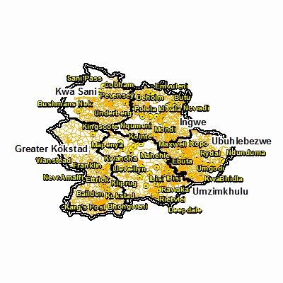
Width: 400 Height: 400 Extent:
YMin: -31.1592442087138 XMax: 30.8052060277139 YMax: -29.0090620682861 Spatial Reference: 4148 Scale: 2259106.30092194 |