|
Width: 400 Height: 400 Extent:
YMin: -38.2967583069111 XMax: 34.5151544114156 YMax: -18.662397871202 Spatial Reference: 4326 Scale: 20629000 |
| ArcGIS Services Directory |
| Home > PIMSBaseMap (MapServer) | Help | API Reference |
|
|
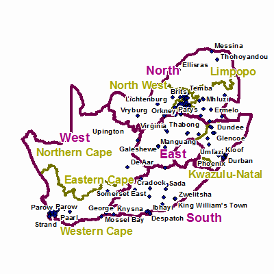
Width: 400 Height: 400 Extent:
YMin: -38.2967583069111 XMax: 34.5151544114156 YMax: -18.662397871202 Spatial Reference: 4326 Scale: 20629000 |