|
Width: 400 Height: 400 Extent:
YMin: -30.8772600864816 XMax: 29.2089122862666 YMax: -29.9273792529543 Spatial Reference: 4326 Scale: 997999.999999948 |
| ArcGIS Services Directory |
| Home > Matatiele (MapServer) | Help | API Reference |
|
|
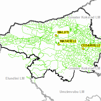
Width: 400 Height: 400 Extent:
YMin: -30.8772600864816 XMax: 29.2089122862666 YMax: -29.9273792529543 Spatial Reference: 4326 Scale: 997999.999999948 |