|
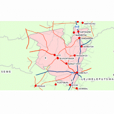
Width: 400 Height: 400 Extent:
YMin: -29.7359495735923 XMax: 25.6514237157386 YMax: -27.0025437431447 Spatial Reference: 4326 Scale: 2871875.00000007 |
| ArcGIS Services Directory |
| Home > FBDMLUBase (MapServer) | Help | API Reference |
|
|
Width: 400 Height: 400 Extent:
YMin: -29.7359495735923 XMax: 25.6514237157386 YMax: -27.0025437431447 Spatial Reference: 4326 Scale: 2871875.00000007 |