|
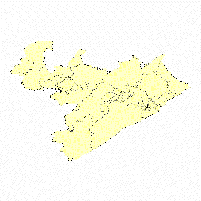
Width: 400 Height: 400 Extent:
YMin: -33.4884138286577 XMax: 28.1320557968418 YMax: -32.4672636185794 Spatial Reference: 4326 Scale: 1072879.74837182 |
| ArcGIS Services Directory |
| Home > Basemap (MapServer) | Help | API Reference |

|
Width: 400 Height: 400 Extent:
YMin: -33.4884138286577 XMax: 28.1320557968418 YMax: -32.4672636185794 Spatial Reference: 4326 Scale: 1072879.74837182 |